Population 449 (2011) Civil parish Ugley Local time Thursday 6:25 PM | OS grid reference TL520284 Sovereign state United Kingdom Dialling code 01279 | |
 | ||
Weather 19°C, Wind S at 19 km/h, 49% Humidity | ||
Ugley is a small village and civil parish in the non-metropolitan district of Uttlesford in Essex, England. It is about 2 miles (3 km) north from Stansted Mountfitchet, and situated between Saffron Walden and Bishop's Stortford. Within the parish is the village of Ugley Green, 1.5 miles (2.4 km) to the south.
Map of Ugley, Bishop's Stortford, UK
Ugley was first recorded in 1041 as "Uggele". It appears in the Domesday Book as "Ugghelea". The name probably means "woodland clearing of a man named Ugga."
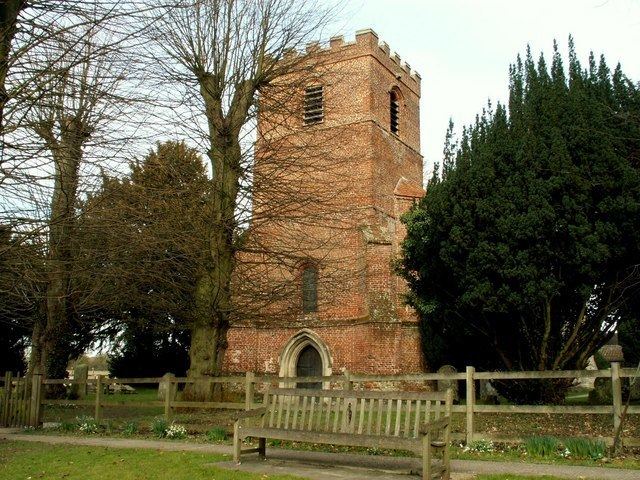
Within Ugley there are several buildings of the 16th and 17th centuries. The Grade II* listed church, St Peter's, has a 13th-century nave and a Tudor brick tower. Orford House is a Grade II* listed building built by Edward Russell, 1st Earl of Orford, c.1700. The village is home to the Eagle Road Club, a cycling club.
The village's name has been noted on lists of unusual place names.
