
District Nellore District PIN 524 226 Elevation 230 m Area code 08620 | Time zone IST (UTC+5:30) Telephone code 08620 Local time Thursday 8:16 PM | |
 | ||
Weather 33°C, Wind E at 13 km/h, 45% Humidity | ||
Udayagiri is a Mandal in the Nellore district of the state of Andhra Pradesh in India.
Contents
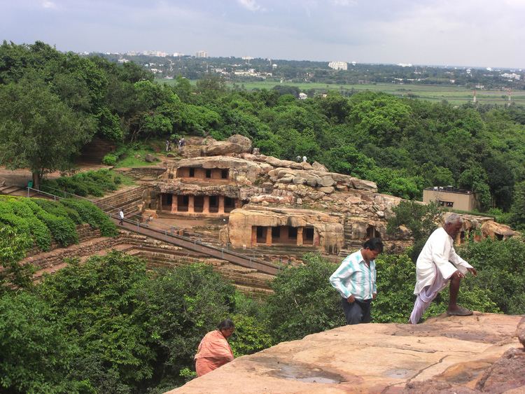
Map of Udayagiri, Andhra Pradesh
This village was under the rule of Vijayanagar Kingdom under Pemmasani Nayaks as its rulers. This town was well fortified and developed by Pemmasani rulers.
Geography
Udayagiri is located at 14.8667°N 79.3167°E / 14.8667; 79.3167. It has an average elevation of 230 meters (757 feet).
History
First known history of the city was from 14th century. It was the capital of local kingdom of Langula Gajapati, chieftain to Gajapatis of Orissa. It came under rule of Krishna Deva Raya of Vijayanagara around 1512. The Udayagiri fort, constructed by Langula Gajapati was inaccessible on most sides. It could be only penetrated only by a jungle track in the east side and a pathway on the west side. The siege by Krishna Deva Raya lasted for 18 months and resulted in defeat for Prataparudra of the Gajapatis.
During the reign of Gajapatis and the Vijayanagara Empire, the fort was extended. The entire city and the surrounding hill of 1000 feet height were encircled with walls. The fort consisted of thirteen buildings, with eight of them on the hill and five below. It also consisted of several beautiful temples and gardens.
After the fall of the Vijayanagara Empire, it was ruled by chieftains of Golconda. The mosque on top of the hill has two Persian inscriptions that credits the construction of the mosque and the planting a nearby garden to Shaik Husain, chieftain to Sultan Abdullah of Golconda. Then it came under the rule of Nawabs of Arcot, who granted the title of Jagir to Mustafa Ali Khan. His descendants controlled it till 1839, until they were deported by Nawabs again to Chengalpet for their treason.
It was formerly a place of immense importance. The walls which once encircled the town have almost entirely disappeared, but much of the fortifications on the neighbouring hill to the west still remains. The fort originally consisted of thirteen separate strongholds, eight on the hill and five below. Inside the walls are the ancient remains of tombs, temples, and palaces. A part of the hill is so precipitous and thus inaccessible, the cliffs being in places nearly 1,000 feet high, and every path up to the fort was commanded by lines of defence forces.
Other structures include Chinna Masjid and Pedda Masjid. A great Sufi saint belonging to the 18th century, Rahamathulla Nayab Rasool, got absorbed in the higher-self here. Every year the Sandal Festival is celebrated on the 26th of the Rabi-Ul-Aval month.Mahaboob subhani sandal s also celebrated every year.
Demographics
This town is known as "Nawabi Adda", as this was ruled by the Nawabs and the Muslim population is very high in this town. The town people mostly follow Islam and Hindu religions. Languages spoken are Telugu and Urdu.
Transport
It is 96 km from Nellore. The only way to reach the place is by road. Several buses run daily from other nearby major places - Kavali, Nellore, Atmakur, and Ongole.
Assembly constituency
For main article see Udayagiri Assembly constituency
Udayagiri is an assembly constituency in Andhra Pradesh. As of 1999, there are 1,58,292 registered voters in Udayagiri constituency. And the leading mandals are Vinjamur, Duttalur, Sitarama Puram, Kaligiri, Jaladanki and Varikuntapadu.
Mr Venkaiah Naidu, now Union Minister for Development had been elected as MLA of Udayagiri when he first entered politics.
In 2014 elections Bollineni Venkata Ramarao from TDP elected as MLA.