
Country Peru Largest city Pucallpa Area 101,830.64 km2 | Capital Pucallpa | |
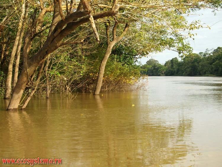
Ucayali is an inland region in Peru. Located in the Amazon rainforest, its name is derived from the Ucayali River. The regional capital is the city of Pucallpa.
Contents
Map of Ucayali Region
Demographics
According to the 2007 Census, the Ucayali Region has a population of 432,159 inhabitants, 51.4% of which (222,132) are male and 48.6% (210,027) are female.
As of 2002, the Instituto Nacional de Estadistica e Informatica estimated the regions population to be 468,922.
Spanish is spoken as a first language by 87.6% of the population, while 4.1% speak Ashaninka, 1.5% speak Quechua and 0.1% speak Aymara. Other indigenous languages, including the Shipibo, are spoken by 6.6% of the population and 0.0% speak foreign languages.
Persons originating from other regions of the country make up 34.7% of the population and 0.2% of residents were born abroad.
The largest immigrant groups come from the Loreto Region (12.5% of the total population).
The population is spread out with 53.9% under the age of 20, 9.3% from 20 to 24, 25.4% from 25 to 44, 8.8% from 45 to 64, and 2.5% who are 65 years of age or older.
Secondary education has been attended by 29% of the population and 2.3% also have graduated from non-university higher education, while 1.7% have complete university studies. 49.3% only have attended primary education and 9.1% have not had any education.
The illiteracy rate in the region is 14.2%
Political division
The region is divided into 4 provinces (Spanish: provincias, singular: provincia), which are composed of 14 districts (distritos, singular: distrito).
The provinces, with their capitals in parenthesis, are:
- Atalaya (Atalaya)
- Coronel Portillo (Pucallpa)
- Padre Abad (Aguaytia)
- Purus (Esperanza)
Geography
The Ucayali Region is bordered by the Brazilian state of Acre on the east; the region of Madre de Dios on the southeast; Cusco on the south; Junin, Pasco and Huanuco on the west; and Loreto on the north.