
Founded 13 October 1900 Region Loreto Region UBIGEO 1606 | Elevation 134 m (440 ft) Area 29,293 km² | |
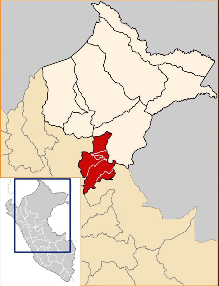 | ||
The Ucayali Province is one of the seven provinces in the Loreto Region of Peru. It was created on October 13, 1900 by president Eduardo López de Romaña. Its territory is mostly flat except for the Ganso Azul mountain range in its eastern part.
Contents
Map of Ucayali Province, Peru
Political division
The province is divided into six districts.
References
Ucayali Province Wikipedia(Text) CC BY-SA