
Postcode(s) 4680 | Postal code 4680 | |
 | ||
Location 481 km (299 mi) NW of Brisbane76 km (47 mi) S of Gladstone81 km (50 mi) NE of Monto54 km (34 mi) S of Calliope | ||
Olamide bobo official video
Ubobo is located south of Gladstone and Calliope along Highway 69 in Central Queensland, Australia. It is one of four small townships within the locality of Boyne Valley along with Nagoorin, Builyan, and Many Peaks. It is part of the Gladstone Region.
Contents
- Olamide bobo official video
- Sinambavu ubobo tanzania traditional song
- Education
- Heritage listings
- References
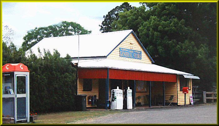
Ubobo is a small town found in the middle of the Boyne Valley, which is mostly made up of family farms that have been passed on to the next generation over the years. The town is made up of the Ubobo General Store, the local garage, two small churches, a small historical centre, a well used QCWA, the Ubobo Discovery Center that has been restored by the community, as well as Ubobo State School. Ubobo State School is one of three schools in the Boyne Valley.
Sinambavu ubobo tanzania traditional song
Education
Ubobo State School opened on 23 March, 1927. The school caters to students from Prep - Year 6 and at the end of 2016 had 15 enrolled students.
Heritage listings
Ubobo has a number of heritage-listed sites, including: