
Prominence 543 m | Topo map USGS Massacre Mountain Elevation 3,652 m | |
 | ||
Similar Mount Corruption, Mount McCaleb, Angel's Perch, Duncan's Peak, Goat Mountain | ||
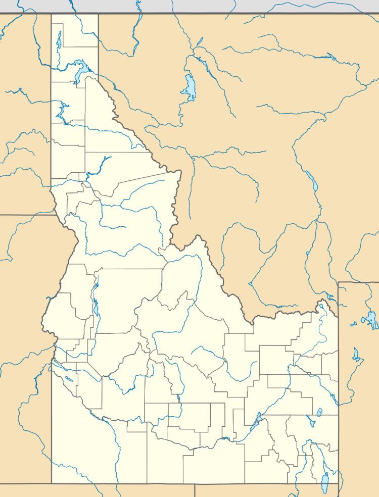
USGS Peak, at 11,982 feet (3,652 m) above sea level, is the tenth-highest peak in the U.S. state of Idaho and the eighth-highest in the Lost River Range. The peak is located in Salmon-Challis National Forest in Custer County. It is 4.15 miles (6.68 km) southeast of Lost River Peak, its line parent.
Map of USGS Peak, Idaho 83253, USA
References
USGS Peak Wikipedia(Text) CC BY-SA