
Mission type Navigation COSPAR ID 2015-033A Mission duration 12 years (planned) Launch date 15 July 2015 Inclination 55° Launch mass 1,630 kg | Operator US Air Force SATCAT no. 40730 Spacecraft GPS SVN-72 (IIF-10) Inclination 55° Period 12 hours | |
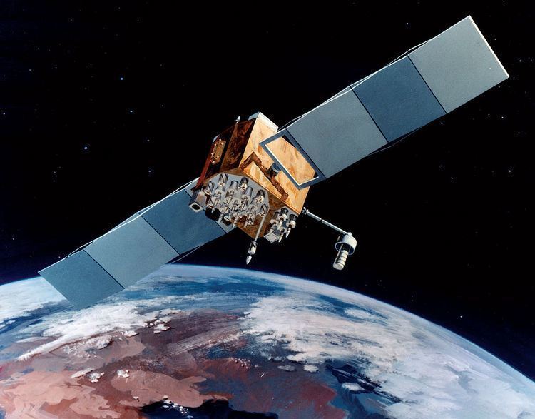 | ||
USA-262, also known as GPS IIF-10, GPS SVN-72 and NAVSTAR 74, is an American navigation satellite which forms part of the Global Positioning System. It was the tenth of twelve Block IIF satellites to be launched.
Contents
Launch
Built by Boeing and launched by United Launch Alliance, USA-262 was launched at 15:36 UTC on 15 July 2015, atop a Atlas V 401 carrier rocket, vehicle number AV-055. The launch took place from Space Launch Complex 41 at the Cape Canaveral Air Force Station, and placed USA-262 directly into semi-synchronous orbit.
Orbit
As of 15 July 2015, USA-262 was in an orbit with a perigee of 20,445 kilometers (12,704 mi), an apogee of 20,450 kilometers (12,710 mi), a period of 728.77 minutes, and 55.00 degrees of inclination to the equator. It is used to broadcast the PRN 08 signal, and operates in slot 3 of plane C of the GPS constellation. The satellite has a design life of 15 years and a mass of 1,630 kilograms (3,590 lb). It is currently in service following commissioning on August 12, 2015.