
Mission type Navigation COSPAR ID 2004-045A Mission duration 10 years (planned) Inclination 54.8° Period 12 hours Launch mass 2,032 kg | Operator US Air Force SATCAT no. 28474 Spacecraft type GPS Block IIR Inclination 54.8° Launch mass 2,032 kg Launch date 6 November 2004 | |
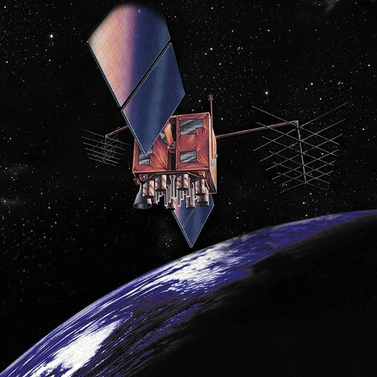 | ||
USA-180, also known as GPS IIR-13 and GPS SVN-61, is an American navigation satellite which forms part of the Global Positioning System. It was the thirteenth of twenty one Block IIR GPS satellites to be launched, and the last in the original configuration. It was built by Lockheed Martin, using the AS-4000 satellite bus.
USA-180 was launched at 05:39:00 UTC on 6 November 2004, atop a Delta II carrier rocket, flight number D308, flying in the 7925-9.5 configuration. The launch took place from Space Launch Complex 17B at the Cape Canaveral Air Force Station, and placed USA-180 into a transfer orbit. The satellite raised itself into medium Earth orbit using a Star-37FM apogee motor.
By 5 January 2005, USA-180 was in an orbit with a perigee of 19,936 kilometres (12,388 mi), an apogee of 20,426 kilometres (12,692 mi), a period of 717.94 minutes, and 54.8 degrees of inclination to the equator. It is used to broadcast the PRN 02 signal, and operates in slot 1 of plane D of the GPS constellation. The satellite has a mass of 2,032 kilograms (4,480 lb), and a design life of 10 years. As of 2012 it remains in service.