
Seat Harding Time zone SAST (UTC+2) Area 1,089 km² Black african population 97.9% Native xhosa speakers 4.9% | Wards 10 Municipal code KZN214 White population 0.5% Native english speakers 2.9% Native zulu speakers 88.2% | |
 | ||
uMuziwabantu Local Municipality is an administrative area in the Ugu District of KwaZulu-Natal in South Africa.
Contents
Map of Harding, South Africa
Umuziwabantu is an isiZulu name meaning "the people's home", or a home with wide open doors where everyone is welcome.
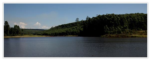
The main source of income for the area is derived from the municipality’s extensive wattle, gum, pine and poplar plantations, and associated industries, including saw mills and furniture-making factories.
Main places
The 2001 census divided the municipality into the following main places:
Politics
The municipal council consists of twenty members elected by mixed-member proportional representation. Ten councillors are elected by first-past-the-post voting in ten wards, while the remaining ten are chosen from party lists so that the total number of party representatives is proportional to the number of votes received. In the election of 3 August 2016 the African National Congress (ANC) won a majority of fourteen seats on the council. The following table shows the results of the election.