
Time zone SAST (UTC+2) Area 2,214 km² Black african population 97.1% Native zulu speakers 92.1% | Wards 26 Municipal code KZN284 White population 1.5% Native english speakers 3.5% | |
 | ||
Points of interest Dlinza Forest Nature R, Umlalazi Nature Reserve, Fort Nongqayi and Zulul, Vukani Museum, Dlinza Forest Aerial Bo | ||
uMlalazi Local Municipality is an administrative area in the uThungulu District of KwaZulu-Natal in South Africa. The municipality is named after the uMlalazi River.
Contents
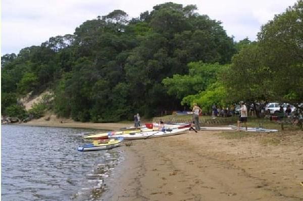
Map of Eshowe, South Africa
Main places
The 2001 census divided the municipality into the following main places:
Politics
The municipal council consists of fifty-four members elected by mixed-member proportional representation. Twenty-seven councillors are elected by first-past-the-post voting in twenty-seven wards, while the remaining twenty-seven are chosen from party lists so that the total number of party representatives is proportional to the number of votes received. In the election of 3 August 2016 the African National Congress (ANC) won a majority of thirty seats on the council. The following table shows the results of the election.