
Local time Monday 10:34 PM | Founded 1966 Population (2015) 296 Founder Nahal | |
 | ||
Weather 13°C, Wind SE at 3 km/h, 78% Humidity | ||
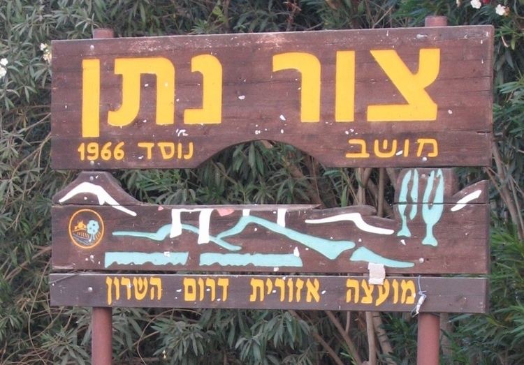
Tzur Natan (Hebrew: צוּר נָתָן, lit. Rock of Nathan) is a Moshav shitufi in central Israel. Located in western Samaria on a hilltop, 170 m above sea level, on a ridge in the foothills of the Samaritan Hills and to the south of Tayibe, it falls under the jurisdiction of Drom HaSharon Regional Council. In 2015 it had a population of 296.
Contents
Map of Tzur Natan, Israel
History
The moshav was founded in 1966 as a Nahal settlement by Hashomer Hatzair members, and was named after Nathan Simons. It was civilianised a year later by former members of the Beitar youth group.
References
Tzur Natan Wikipedia(Text) CC BY-SA