
Country United States FIPS code 37-69020 Elevation 252 m Zip code 27292 Local time Monday 2:22 PM | Time zone Eastern (EST) (UTC-5) GNIS feature ID 996400 Area 33.3 km² Population 3,879 (2010) | |
 | ||
Weather 23°C, Wind S at 8 km/h, 62% Humidity | ||
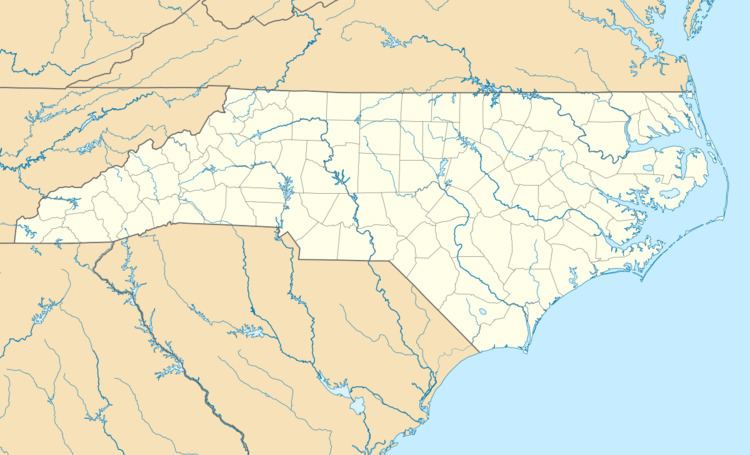
Tyro is an unincorporated community and census-designated place (CDP) located 7 miles (11 km) west of Lexington and 24 miles (39 km) south of Winston-Salem in Davidson County, North Carolina, United States. As of the 2010 census the community had a population of 3,879.
Contents
Map of Tyro, NC 27295, USA
Geography
Tyro is located in western Davidson County along North Carolina Highway 150. Neighboring communities include Reeds to the northeast on NC 150, Churchland to the southwest on NC 150, Linwood to the southeast, and the city of Lexington to the east.
Located 6 miles (10 km) west of Tyro is Boone's Cave Park on the Yadkin River. Daniel Boone is rumored to have once hidden in the cave from a group of Native Americans that were avidly pursuing him.
According to the United States Census Bureau, the Tyro CDP has an area of 12.9 square miles (33.3 km2), all of it land.
Historic sites
Haden Place, Capt. John Koonts, Jr., Farm, St. Luke's Lutheran Church Cemetery, and Tyro Tavern are listed on the National Register of Historic Places.
Education
Tyro is home to West Davidson High School (2012 Davidson County Quiz Bowl Champs), West Davidson High School, as well as Tyro Middle School; both of which are part of the Davidson County School System.