
Time zone YEKT (UTC+05:00) | Population (2010 Census) 3,306 inhabitants Urban-type settlement status since 1928 | |
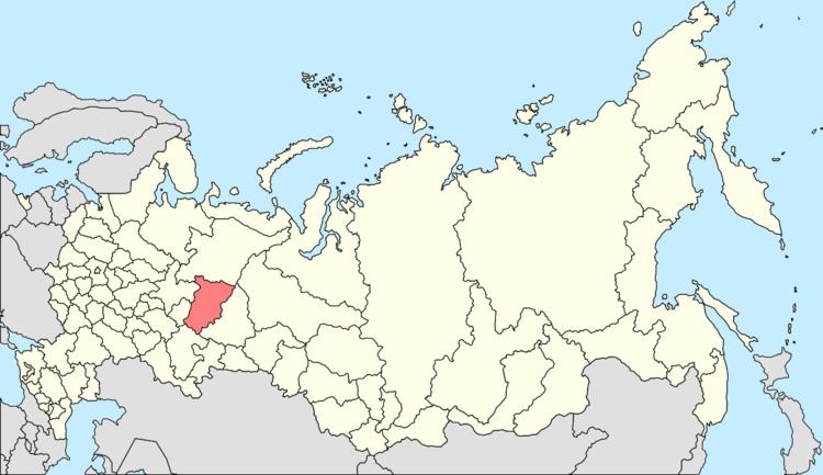 | ||
Tyoplaya Gora (Russian: Тёплая Гора́) is an urban locality (an urban-type settlement) in Gornozavodsky District of Perm Krai, Russia, located on the western slopes of the Ural Mountains, on the Koyva River, 14 kilometers (8.7 mi) from the border with Sverdlovsk Oblast. Population: 3,306 (2010 Census); 3,860 (2002 Census); 4,558 (1989 Census).
Contents
Map of Tyoplaya Gora, Permskiy Kray, Russia, 618870
History
Urban-type settlement status was granted to it in 1928.
Transportation
A paved road connects Tyoplaya Gora with Gornozavodsk and Kachkanar.
References
Tyoplaya Gora Wikipedia(Text) CC BY-SA