- elevation 1,575 ft (480 m) | Length 42 km | |
 | ||
The Twisp River is a tributary of the Methow River, in the U.S. state of Washington. It is about 26 miles (42 km) long. The name of the river comes from the Okanagan placename [txwə́c’p], perhaps meaning "wasp" or "yellowjacket".
Contents
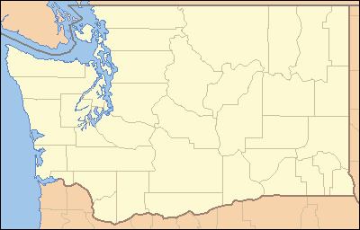
Map of Twisp River, Washington, USA
CourseEdit
The Twisp River originates in the North Cascades portion of the Cascade Range. Flowing generally east, the Twisp River drains the mountains south of Washington Pass as well as the eastern slopes of Sawtooth Ridge, a major mountain range with some of Washington state's highest peaks (such as Star Peak and Mt Bigelow).
The Twisp River flows into the Methow River at the town of Twisp, Washington.
TriviaEdit
A Japanese incendiary balloon was reported on the Twisp River in 1945.
References
Twisp River Wikipedia(Text) CC BY-SA
