
Location Bay of Bengal Total islands 2 Highest elevation 48 m (157 ft) Elevation 48 m Postal code 744202 Archipelago Andaman Islands | Adjacent bodies of water Indian Ocean Major islands West Twin
East Twin Highest point West Twin Area 59 ha Area code 031927 Adjacent body of water Indian Ocean | |
 | ||
Twin Islands is an island of the Andaman Islands. It belongs to the South Andaman administrative district, part of the Indian union territory of Andaman and Nicobar Islands. the island is lying 35 km (22 mi) south from Port Blair.
Contents
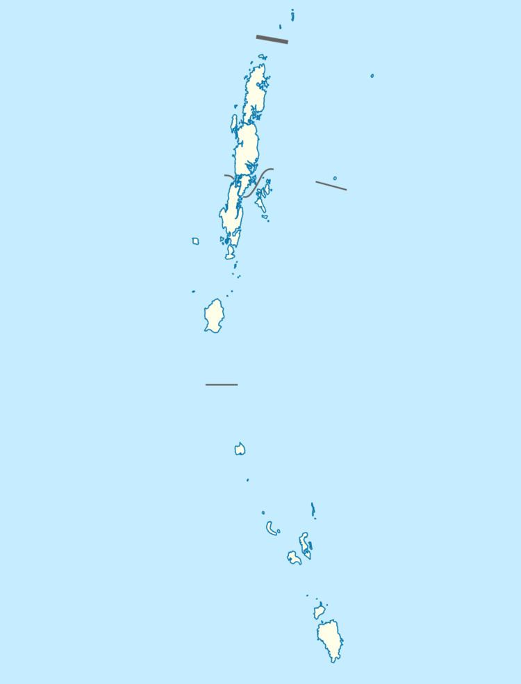
Map of Twin Islands
Geography
The islands belongs to the Rutland Archipelago and are located west of Bada Khari. West Twin has an area of 20.5 ha (51 acres) and a coastline of 1.73 km (1 mi), East Twin has an area of 38.2 ha (94 acres) and a coastline of 2.6 km (2 mi),
Administration
Politically, Twin Islands are part of Port Blair Taluk.
Demographics
The islands are uninhabited.
References
Twin Islands (Andaman and Nicobar Islands) Wikipedia(Text) CC BY-SA