
OS grid reference SW760424 Post town TRURO Local time Monday 6:46 AM | Sovereign state United Kingdom Postcode district TR4 Dialling code 01872 | |
 | ||
Weather 9°C, Wind E at 21 km/h, 93% Humidity | ||
Twelveheads (Cornish: Dewdhek Stamp) is a hamlet east of St Day in west Cornwall, England, United Kingdom. It lies in the parish of Chacewater, between Truro and Redruth.
Contents
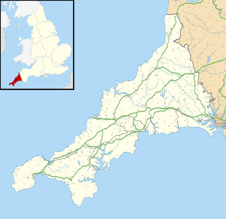
Map of Twelveheads, Truro, UK
History and geography
The name comes from the hamlet's mining history. Sets of stamps (machines used for crushing ore) were once used on the dressing floors in the village. The stamps had a total of twelve 'heads'.
Twelveheads has a Methodist chapel; Billy Bray, the Methodist preacher, was born here. The former village pub and post office are both now private housing.
Twelveheads is close to the Coast to Coast cycle route and the former mine known as Wheal Busy. There is also the 'Twelveheads Gate' into the Poldice Valley - the path of the mineral tramway, popular with cyclists, horseriders and walkers. About 500 yards to the south-east, down the Carnon Valley, is the portal of the Great County Adit that once drained all the mines in the locality.