
OS grid reference HY270242 Sovereign state United Kingdom Elevation 35 m Dialling code 01856 | Post town ORKNEY Local time Monday 5:56 AM | |
 | ||
Weather 5°C, Wind NW at 3 km/h, 90% Humidity | ||
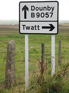
Twatt is a small settlement in the parish of Birsay on the Mainland of the Orkney Islands, Scotland. It was previously the location of a RNAS airfield, HMS Tern, 1940–1949. Twatt is situated at the junction of the A986 and the A967.
Contents
Map of Twatt, Orkney, UK
Etymology
The settlement name originates from the Old Norse þveit, meaning 'small parcel of land'. The Norse word commonly produces in England the place name element Thwaite.
The name Twatt is similar to the common English expletive "twat", (an insulting word used to express contempt or derision for another individual, although it can also colloquially refer to a vagina). Its name featured at number four in a list of the most vulgar-sounding names in Rude Britain, along with its Shetland counterpart. There is also an Upper Twatt Road on the island in Stenness.