
Max. length 2.1 mi (3.4 km) Surface elevation 29 m Length 3.38 km Cities Amesbury, South Hampton | Primary inflows Max. width 0.5 mi (0.80 km) Area 48 ha Width 805 m Inflow source Powwow River | |
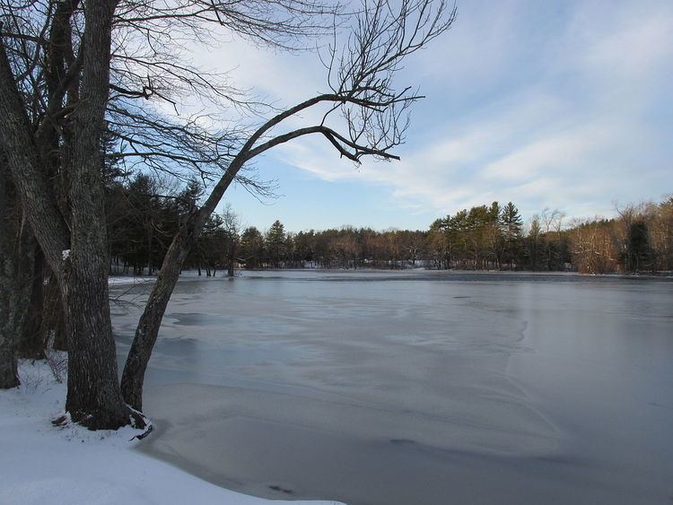 | ||
Tuxbury Pond is a lake which straddles the Massachusetts-New Hampshire border, abutting the towns of Amesbury, Massachusetts and South Hampton, New Hampshire. It is located along the Powwow River. It has two islands in the middle, and a large summer camp resort lies along the Massachusetts shore.
Map of Tuxbury Pond, United States
References
Tuxbury Pond Wikipedia(Text) CC BY-SA