
Country United States FIPS code 36-75759 Elevation 340 m Local time Sunday 10:24 PM | State New York Time zone Eastern (EST) (UTC-5) GNIS feature ID 0979565 Population 1,515 (2010) | |
 | ||
Weather 2°C, Wind SE at 13 km/h, 93% Humidity Area 126.4 km² (122.5 km² Land / 3.885 km² Water) | ||
Tusten is a town in Sullivan County in the U.S. state of New York. The population was 1,515 at the 2010 census. The name is derived from Benjamin Tusten, a military leader killed at the Battle of Minisink.
Contents
- Map of Tusten NY 12764 USA
- History
- Geography
- Demographics
- Communities and locations in Tusten
- Notable people
- References
Map of Tusten, NY 12764, USA
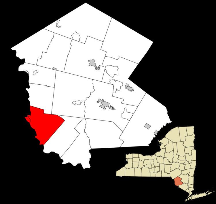
The Town of Tusten is located in southwestern part of the county.
History
The town was previously part of the Towns of Mamakating and Lumberland in 1853. Benjamin Homans was the first settler, setting himself up by Narrowsburg. The Ten Mile River Baptist Church and Tusten Stone Arch Bridge are listed on the National Register of Historic Places.
Geography
The west town line, delineated by the Delaware River, is the border of Pennsylvania.
According to the United States Census Bureau, the town has a total area of 48.8 square miles (126 km2), of which, 47.3 square miles (123 km2) of it is land and 1.5 square miles (3.9 km2) of it (3.18%) is water.
Demographics
As of the census of 2000, there were 1,415 people, 583 households, and 367 families residing in the town. The population density was 29.9 people per square mile (11.6/km²). There were 1,008 housing units at an average density of 21.3 per square mile (8.2/km²). The racial makeup of the town was 89.12% White, 6.93% African American, 0.14% Native American, 0.92% Asian, 1.13% from other races, and 1.77% from two or more races. Hispanic or Latino of any race were 3.60% of the population.
There were 583 households out of which 26.2% had children under the age of 18 living with them, 49.6% were married couples living together, 8.6% had a female householder with no husband present, and 37.0% were non-families. 32.4% of all households were made up of individuals and 17.8% had someone living alone who was 65 years of age or older. The average household size was 2.30 and the average family size was 2.89.
In the town, the population was spread out with 22.3% under the age of 18, 4.2% from 18 to 24, 24.1% from 25 to 44, 28.3% from 45 to 64, and 21.0% who were 65 years of age or older. The median age was 44 years. For every 100 females there were 103.9 males. For every 100 females age 18 and over, there were 105.8 males.
The median income for a household in the town was $38,824, and the median income for a family was $46,250. Males had a median income of $35,125 versus $25,938 for females. The per capita income for the town was $19,413. About 6.8% of families and 9.2% of the population were below the poverty line, including 8.9% of those under age 18 and 4.3% of those age 65 or over.