
Width 1 km (0.6 mi) Highest elevation 74.5 m (244.4 ft) Elevation 74 m | Length 2.5 km (1.55 mi) Coastline 7.63 km (4.741 mi) Highest point Turøyvarden Area 167 ha | |
 | ||
Turøyna or Turøy is an island in Fjell municipality in Hordaland county, Norway. The 1.67-square-kilometre (0.64 sq mi) island lies just west of the islands of Toftøyna and Misje in the northern part of Fjell municipality. Prior to 1964, the island was part of the old municipality of Herdla.
Map of Turoy, 5365 Tur%C3%B8y, Norway
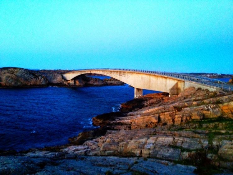
About one hundred people live on the island. The island has a road connection to the mainland via the Turøy Bridge which connects to Toftøyna. The road then continues over a series of bridges connecting a string of islands to each other and to the city of Bergen. The postcode is 5365 Turøy.
The island is a good spot for birdwatching and there is an ornithological station on the island.
The island received some notoriety because of a 2016 helicopter crash.
References
Turøy Wikipedia(Text) CC BY-SA