Admin. region Freiburg Area 15.59 km² Local time Sunday 2:42 PM | District Schwarzwald-Baar-Kreis Elevation 743 m (2,438 ft) Population 2,875 (31 Dec 2008) Postal code 78609 | |
 | ||
Weather 13°C, Wind E at 11 km/h, 43% Humidity | ||
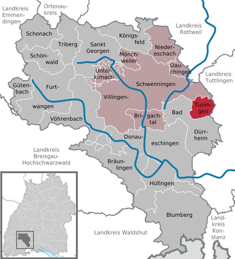
Tuningen is a Gemeinde (municipality) located in the Schwarzwald-Baar district in the middle of Baden-Württemberg, Germany.
Contents
Map of 78609 Tuningen, Germany
The municipality belongs to the administrative authority (Verwaltungsgemeinschaft) of Villingen-Schwenningen.
Geography
Tuningen is located at the east border of the Black Forest about 14 km south-east of the district town Villingen-Schwenningen, 6 km east of Bad Dürrheim and 5 km south-west of Trossingen.
History
The first explicit reference to Tuningen dates to 797, in a deed of donation by the cloister St. Gallen.
Twin towns
References
Tuningen Wikipedia(Text) CC BY-SA
