
Population 287 (2011 census) Local time Sunday 11:22 PM | Postcode(s) 3728 Postal code 3728 Federal division Division of Indi | |
 | ||
Location 259 km (161 mi) N of Melbourne58 km (36 mi) E of Shepparton27 km (17 mi) S of Yarrawonga Weather 24°C, Wind N at 6 km/h, 58% Humidity | ||
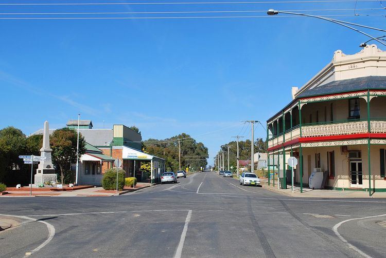
Tungamah /ˈtʌŋɡəmɑː/ is a town in the Goulburn Valley region of northern Victoria, Australia. The town is located in the Shire of Moira local government area, 259 kilometres (161 mi) from the state capital, Melbourne. Tungamah is situated on the banks of Boosey Creek and at the 2006 census, Tungamah had a population of 355. The 2011 Australian census indicated the population had dropped to 287.
Contents
Map of Tungamah VIC 3728, Australia
History
Tungamah takes its name from the Aboriginal word for the Brush Turkey. Tungamah Post Office opened on 15 October 1880.
Today
Major industries in the Tungamah area include grain production, wool growing and dairy and beef.
The town has an Australian rules football team competing in the Picola & District Football League.
The town also boasts a General Store, a Mechanic, a Hotel with accommodation and meals, service, sporting and general interest clubs, such as lawn bowls, Lions International, Leo's, Police & Citizens Youth Club, tennis and Senior Citizens.
Transport
Tungamah has a railway freight station with a silo on the Oaklands railway line, Victoria. A daily passenger bus service runs between Benalla Railway Station and Mulwala (NSW).