
Length 8 km | ||
 | ||
Restrictions: Access south of Shek Mun Kap require permit South end: South Lantau Road near Cheung Sha Majorjunctions: Shek Mun Kap Road near Fong Yuen North end: Cul-de-sac in Tung Chung South end: Cul-de-sac in Tung Chung | ||
Tung Chung Road (traditional Chinese: 東涌道; simplified Chinese: 东涌道; pinyin: Dōngchōng Dào; Cantonese Yale: dung1 chung1 dou6) is a two disjointed-section road connecting the north and south coast of Lantau Island.
Contents
Map of Tung Chung Rd, Hong Kong
Description
The first section is a short road linking a former pier and Wong Nai Uk in Tung Chung. The second is a long and hilly section connecting Tung Chung in the island north to Cheung Sha in the island south. The two section were previously connected until the completion of replacement road Chung Yan Road in Tung Chung New Town.
The short section is featured with historical Tung Chung Battery, a military coastal defence in Ming dynasty. It runs along the a river Ma Wan Chung and ends in Chung Yan Road.
The long section is a long, steep, narrow and winding road. Due to physical constraints, it is open only to buses, taxis and permit-bearing vehicles only and speed limit is set to 30 km/h. It is too dangerous for double-decker bus to run on and only "single-deckers" are used in the bus services. It starts near Ma Wan New Village and joins Chung Yan Road near a river before proceeding upwards to the valley between Sunset Peak and Lantau Peak. It reaches its highest point at a pass in Pak Kung Au (also known as Tung Chung Au) then follows a steep downhill path. The southern end joins South Lantau Road in Cheung Sha.
Because of limited capacity, the Transport Department opens the road only to buses, taxis and holders of a permit, issued to residents and business of South Lantau and other people who can demonstrate a legitimate reason.
The nature of Tung Chung Road preserved the rural landscape in the southern Lantau. There are bus routes from Tung Chung to various destinations like Cheung Sha, Mui Wo, Shek Pik and Tai O in the island south. The road is a stage split of Lantau Trail on the south slope of the island.
New section
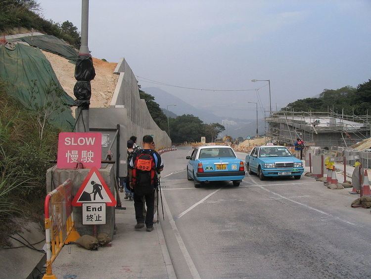
Prior to completion of the new section in 2009, numerous parts consisted of a single lane only; when two oncoming vehicles approached, one had to find a passing place to stop and let the other pass.
On 6 February 2009, the improved Tung Chung Road section between Lung Tseng Tau and Cheung Sha near San Shek Wan on Lantau Island was fully opened from 10am. The new road is a dual carriageway wide enough for two vehicles to pass each other and has fewer sharp turns.
Following the opening, the old road section between Pak Kung Au and Cheung Sha near Cheung Sha Bridge has been closed. Vehicles are diverted to the new road section between Pak Kung Au and San Shek Wan.
Intersections
The entire route is in Islands District.