
County Tumbura County Elevation 680 m Population 9,483 (19 Jan 2012) | Time zone EAT (UTC+3) Local time Sunday 2:01 PM | |
 | ||
Weather 36°C, Wind SE at 8 km/h, 35% Humidity | ||
Tumbura, sometimes spelled Tambora or Tambura, is a town in South Sudan.
Contents
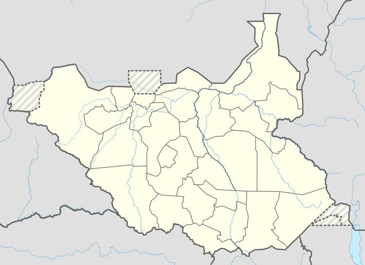
- Map of Tambura South Sudan
- Indian flute tumbura music background meditation music yoga music instrumental
- Location
- Overview
- Population
- Transport
- References
Map of Tambura, South Sudan
Indian flute tumbura music background meditation music yoga music instrumental
Location
The town is located in Tumbura County, Gbudwe State, in the western part of South Sudan, near the International borders with the Democratic Republic of the Congo (DRC) and with the Central African Republic (CAR). This location lies approximately 582 kilometres (362 mi), by road, northwest of Juba the capital and largest city in South Sudan. The geographical coordinates of Tambura are:5° 35' 24.00"N, +27° 28' 12.00"E (Latitude:5.5900; Longitude:27.4700).
Overview
Tumbura is a small town close to the country's western border with DRC and CAR. The area around Tumbura has witnessed the ravages of the Lord's Resistance Army (LRA) who have terrorized civilians in this area along with neighbourng populations in DRC and CAR since 2008.
Population
In 2010, the population of the town of Tumbura was estimated at about 9,500.
Transport
The major road south (A44) ledas to Li Yubu, South Sudan, at the border with the Central African Republic. A44-North leads to Wau, South Sudan. Two smaller roads lead out of town towards the east and west of Tumburaa. The town is also served by Tumbura Airport.