
 | ||
Tumba Ice Cap (Bulgarian: ледник Тумба, ‘Lednik Tumba’ \'led-nik 'tum-ba) is the ice cap covering the western half of Chavdar Peninsula on the west side of Graham Land, Antarctic Peninsula. It is situated west of Samodiva Glacier, extending 7.7 km in east-west direction and 4 km in north-south direction, and draining both northwards into Curtiss Bay and southwards into Hughes Bay
Contents
The geographic feature is named after the peak of Tumba in Belasitsa Mountain, Southwestern Bulgaria.
Location
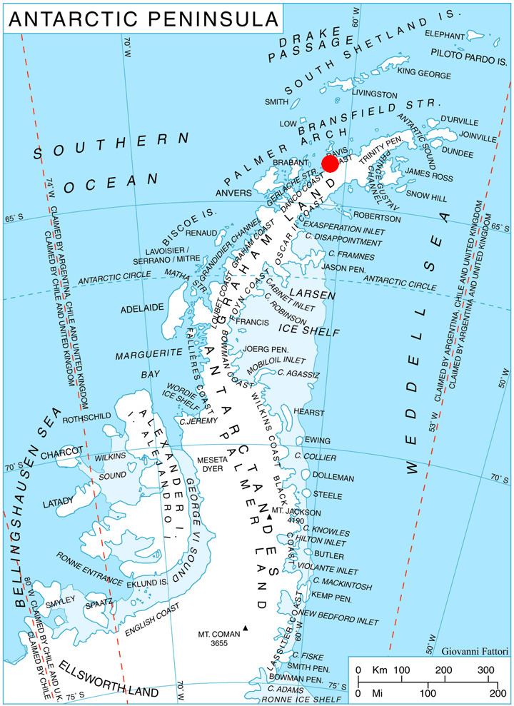
Tumba Ice Cap is centred at 64°04′50″S 60°55′00″W. British mapping in 1978.
Maps
References
Tumba Ice Cap Wikipedia(Text) CC BY-SA