Elevation 1,496 m | ||
 | ||
Similar Kvarkush, Oslyanka, Basegi, Gora Vogulskiy Kamen', Stone Vetlan | ||
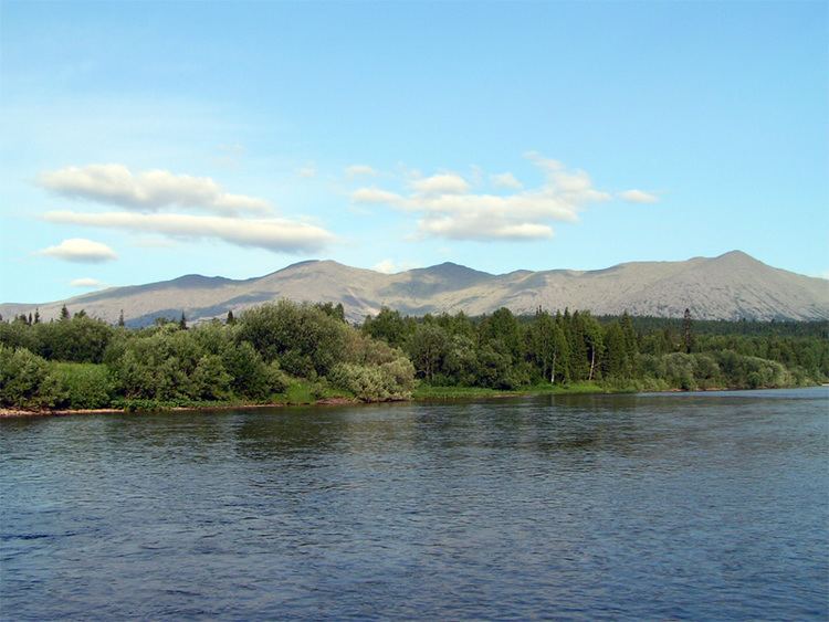
Tulymsky Kamen (Russian: Тулымский камень) is a mountain range in North Ural. Located in northeastern portion of Krasnovishersky District, Perm Krai, Russia, the range stretches about 24 km north-south. At 1,496 m elevation, it is also the highest point of Perm Krai.
Contents
Map of Khrebet Tulymskiy Kamen', Permskiy Kray, Russia, 618570
Several small tributaries of the Vishera River, located in the area of the Vishera Nature Reserve, originate from the generally steeper western slopes of the range.
Etymology
The word "Tulym", in some Tatar dialects, means "rocks sticking out of the river", and in the Komi-Yodzyak language it means "rapids", likely referring to the rapids on the Vishera River. In the Mansi language, the range has two names: ‘Yaktyl-ya-Nyor’ (range of rapids river) and ‘Luv-Nyor’ (horse-stone).
References
Tulymsky Kamen Wikipedia(Text) CC BY-SA
