
Population 330 (2006 census) Parish Beremegad Local time Sunday 8:27 PM | Postcode(s) 2732 Postal code 2732 | |
 | ||
Location 818 km (508 mi) from Sydney293 km (182 mi) from Albury63 km (39 mi) from Swan Hill (VIC)27 km (17 mi) from Wakool23 km (14 mi) from Burraboi | ||
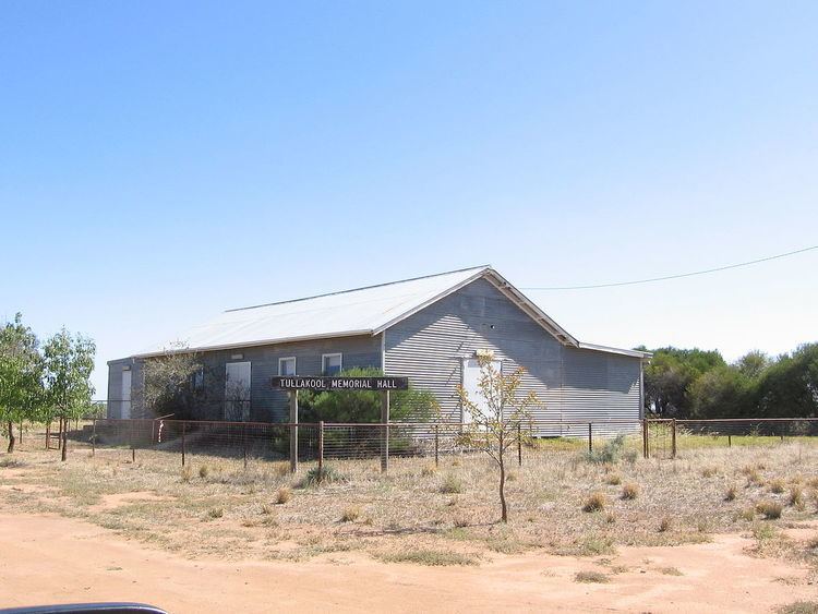
Tullakool is a village community in the south west part of the Riverina. The place by road, is situated about 23 kilometres east from Burraboi and 27 km (17 mi) west from Wakool. It was the location of the first commercial rice crop in the Murray valley. At the 2006 census, Tullakool had a population of 330.
Map of Tullakool NSW 2732, Australia
In 1948 the area was divided into Soldier settlement allotments.
References
Tullakool, New South Wales Wikipedia(Text) CC BY-SA