
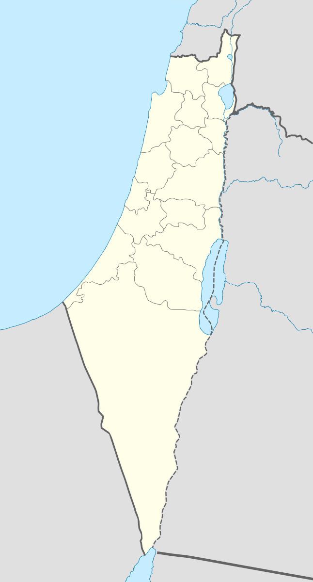
Arabic تليل Subdistrict Safad Area 5,324 dunams5.3 km² | Name meaning The small mound. Palestine grid 208/272 Local time Sunday 11:41 AM | |
 | ||
Population 340 (together with Husayniyya) (1945) Weather 22°C, Wind SW at 5 km/h, 44% Humidity | ||
Tulayl (Arabic: تليل) was a Palestinian Arab village in the Safad Subdistrict located 14.5 kilometers (9.0 mi) northeast of Safad. It was situated on small, sandy hill on the southwestern shore of Lake Hula, near the merging of two wadis. Together with the nearby village of al-Husayniyya, it had a population of 340 in 1945. Tulayl was depopulated during the 1948 Palestine War.
Contents
History
Scholars identify the mound upon which Tulayl was built with the Roman town of "Thella". Its hilltop location protected it from floods.
Ottoman era
Under the Ottoman Empire, in 1596, Tulayl was a part of the nahiya ("subdistrict") of Jira, under the administration of Safad Sanjak, with a population of 215. It paid taxes on wheat, barley, bees, and water buffalo.
In 1881, the Palestine Exploration Fund's Survey of Western Palestine (SWP) described the place as having "modern cattle-sheds and traces of ruins of basaltic stone". Its houses, closely packed together, were constructed from adobe and cane. In the second half of the 19th century, after the Algerian followers of Abdelkader El Djezairi had been defeated by the French in Algeria, they sought refuge in another part of the Ottoman Empire, and were given lands in various locations in Ottoman Syria, including Tulayl, and the nearby villages of Dayshum, Ammuqa, Al-Husayniyya and Marus.
British Mandate era
In the 1922 census of Palestine conducted by the British Mandate authorities, Tulail had a population of 196; all Muslims. In the 1931 census it was counted with al-Husayniyya, and together they had a population of 274, still all Muslims, in a total of 64 houses.
During this period Tulayl expanded westward and by the 1940s approached the village of al-Husayniyya, itself having expanded eastward. Thus, the two virtually had become one village sharing the same services, including the only school. The entire population, engaged mostly in agriculture, raising water buffalo, and fishing, was Muslim.
In 1945 the village area comprised a total area of 5,324 dunams. A large number of inhabitants were employed in cereal farming.
Types of land use in dunams in the village in 1945:
The land ownership of the village before occupation in dunams:
1948, and aftermath
Like most villages in the area, Tulayl was captured by Israel during its offensive Operation Yiftach in the 1948 Arab-Israeli War. Israeli historian Benny Morris speculates it was seized in April 1948. According to Palestinian historian Walid Khalidi in 1992, "The village site is thickly covered with grass and other vegetation, including some eucalyptus and palm trees. Only one old stone house, with an arched doorway, remains standing.