
District Saiha PIN 796911 Elevation 1,079 m | Time zone IST (UTC+5:30) Vehicle registration MZ03 Local time Sunday 1:23 PM | |
 | ||
Weather 26°C, Wind W at 11 km/h, 35% Humidity | ||
Tuipang, a Mizo name and Tipa in Mara language is a town in Saiha district, Mizoram, India. The famous Palak Lake is situated under Tuipang Civil Sub Division.There are two sections of Original tuipang. One section is known as tuipang 'L' (Lal Veng or lal village) While the other section is known as Vai Veng (Village constituting the outsiders locally known as 'Vai'). The Mara people are the main inhabitants of Tuipang while only 1% of the total population constitutes migrated workers of plain land India.
Contents
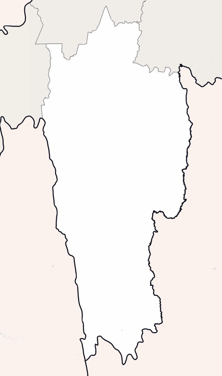
Map of Tuipang, Mizoram 796911
Geography
It is located at 22°19′0″N 93°2′0″E at an elevation of 1079 m above MSL.
Location
Tuipang is connected by National Highway 54, which links Dabaka and Aizawl, via Silchar.
References
Tuipang Wikipedia(Text) CC BY-SA