
Elevation 420 m (1,380 ft) Time zone CET (UTC+1) Local time Sunday 8:54 AM | Demonym(s) Tufaroli Area 35.2 km² Postal code 86010 | |
 | ||
Weather 13°C, Wind SW at 27 km/h, 77% Humidity | ||
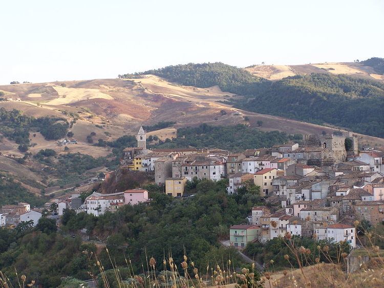
Tufara is a comune (municipality) in the Province of Campobasso in the Italian region Molise, located about 25 kilometres (16 mi) southeast of Campobasso. As of 31 December 2004, it had a population of 1,071 and an area of 35.2 square kilometres (13.6 sq mi).
Map of 86010 Tufara Province of Campobasso, Italy
Tufara borders the following municipalities: Castelvetere in Val Fortore, Celenza Valfortore, Gambatesa, Riccia, San Bartolomeo in Galdo, San Marco la Catola.
References
Tufara Wikipedia(Text) CC BY-SA