
County Cape May Time zone Eastern (EST) (UTC-5) Local time Sunday 1:35 AM | ZIP codes 08250 Area code 609 | |
 | ||
Weather 8°C, Wind NE at 21 km/h, 83% Humidity | ||
Tuckahoe is an unincorporated community located within Upper Township in Cape May County of New Jersey, United States.
Contents
- Map of Tuckahoe NJ 08270 USA
- Bridge construction
- Origin of the name Tuckahoe
- Use of Tuckahoe by local tribes
- Tuckahoe Road
- References
Map of Tuckahoe, NJ 08270, USA
Bridge construction
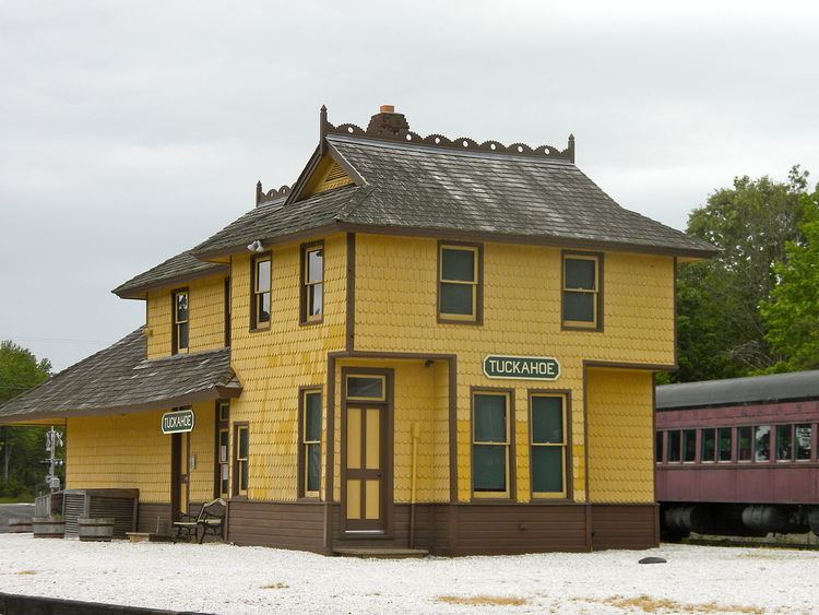
A bridge, constructed in 1926 and renovated in 1961, connects Tuckahoe to Corbin City, its neighbor to the north. It is also the headquarters for the Cape May Seashore Lines Railroad.
Origin of the name Tuckahoe
The community of Tuckahoe is named after the wild tuckahoe (the sclerotium of the fungus Wolfiporia extensa), also called Indian Bread, which grew in abundance in this area on the roots of certain trees and was collected by the members of the Lenape tribes in the area.
Use of Tuckahoe by local tribes
The tuckahoe was pounded into pulp by local Native Americans and used for cooking and baking, as flour, which served as an ingredient in their cornbread.
Since the tuckahoe was found in great abundance in this area, members of various New Jersey Lenape tribes would visit this location to collect them.
Tuckahoe Road
Tuckahoe Road, which has its beginnings in Cross Keys, New Jersey at Route 42, is an alternative way to get to Ocean City and other shore points, instead of taking the Atlantic City Expressway.