Admin. region Mittelfranken Elevation 345 m (1,132 ft) Area 6.5 km² Population 1,264 (31 Dec 2008) Dialling code 0911 | Time zone CET/CEST (UTC+1/+2) Local time Sunday 7:23 AM Postal code 90587 Administrative region Middle Franconia | |
 | ||
Weather 2°C, Wind N at 3 km/h, 78% Humidity | ||
Tuchenbach is a municipality in the district of Fürth in Bavaria in Germany.
Contents
- Map of 90587 Tuchenbach Germany
- Geography
- History
- Population
- Politics
- Church
- Sport Clubs
- Different
- References
Map of 90587 Tuchenbach, Germany
Geography
Tuchenbach is located about 20 Kilometer west of Nuremberg. The closest villages are Obermichelbach, Veitsbronn, Puschendorf and the town of Herzogenaurach. The altitude is 345 Meters. The area of Tuchenbach is 6.50 km²
History
Tuchenbach was first officially mentioned in 1284.
Population
The population was 1226 on 30 June 2007. The density is 184/m².
Politics
Town Council
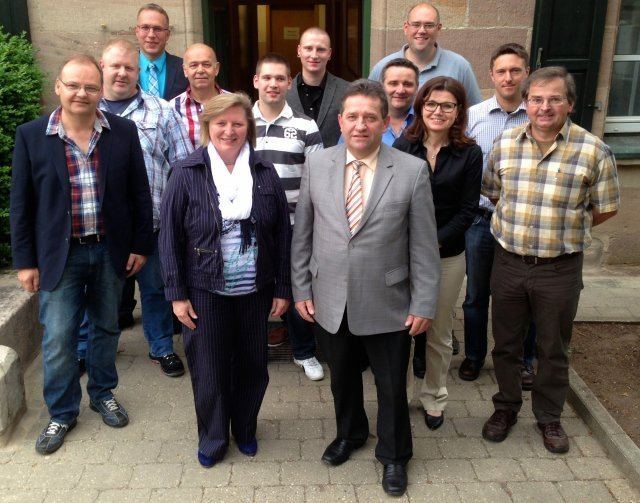
The Town Council has 13 members, including the mayor. The "Interessengemeinschaft Tuchenbach" has 8 seats, the SPD has 1 seats and the "Wählergemeinschaft Tuchenbach" has 3 seats (Election 2008).
Mayor
Leonhard Eder (Interessensgemeinschaft) was elected mayor on 3 March 2002 with 61,8%. He was reelected on 2 March 2008 with 73.8%.
Church
The "Friedenskirche" (Peace Church) including a cemetery was opened in 2000.
Sport Clubs
Sportfreunde Tuchenbach
The Sportreunde Tuchenbach have soccer teams, gym, archery, cycling and Ping-Pong.
Tennisclub Tuchenbach
The tennis club was founded is 1977 and it has 4 clay courts.
Different
The ZIP-Code is 90587. The Area Code is 0911. The address of the townhall is Schulplatz 2, 90587 Tuchenbach
