
Country Philippines Time zone PST (UTC+8) Area 102.6 km² Province Benguet | Barangays ZIP code 2615 Local time Sunday 1:00 PM | |
 | ||
Region Cordillera Administrative Region (CAR) District Lone district of Benguet Weather 26°C, Wind W at 5 km/h, 70% Humidity | ||
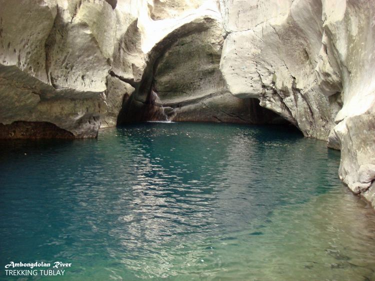
Tublay, officially the Municipality of Tublay (Ilocano: Ili ti Tublay; Filipino: Bayan ng Tublay), is a municipality in the province of Benguet in the Cordillera Administrative Region (CAR) of the Philippines. The population was 17,892 at the 2015 census. In the 2016 electoral roll, it had 9,734 registered voters.
Contents
Map of Tublay, Benguet, Philippines
History
Tublay began as a township organized by the American government in November 1900.
Geography
Tublay is located at 16°31′N 120°37′E, at the central portion of Benguet. It is bounded by Kapangan on the north, Atok on the east, Itogon and Bokod on the southeast, La Trinidad on the west, and Sablan on the northwest.
According to the Philippine Statistics Authority, the municipality has a land area of 102.55 square kilometres (39.59 sq mi) constituting 7000370000000000000♠3.70% of the 2,769.08-square-kilometre- (1,069.15 sq mi) total area of Benguet.
The topography is generally mountainous with an elevation of 1,400 metres (4,600 ft) above sea level. It has two pronounced seasons - the dry and the wet seasons with a temperature coldest at 6.5 °C (43.7 °F) and warmest at 27.5 °C (81.5 °F).
The municipality is located 263 kilometres (163 mi) north of Manila and 13 kilometres (8.1 mi) north of Baguio.
Barangays
Tublay is politically subdivided into 8 barangays. Ambassador is the largest barangay in terms of land area (11.52 km²), while Tuel is the smallest (4.79 km²).
Demographics
In the 2015 census, Tublay had a population of 17,892. The population density was 170 inhabitants per square kilometre (440/sq mi).
In the 2016 electoral roll, it had 9,734 registered voters.
Public schools
As of 2014, Tublay has 19 public elementary schools and 2 public secondary schools.