
Country Vietnam Capital Tuần Giáo Province Điện Biên Province | Region Northwest Area 1,583 km² Local time Monday 11:23 AM | |
 | ||
Time zone Indochina Time (UTC+07:00) | ||
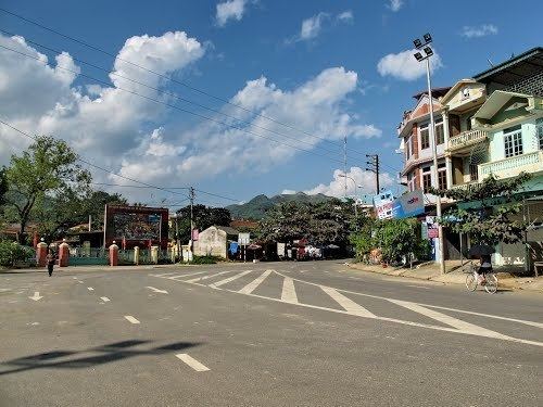
Tuần Giáo is a rural district of Điện Biên Province in the Northwest region of Vietnam. As of 2003, the district had a population of 104,185. The district covers an area of 1,583 km². The district capital lies at Tuần Giáo.
Contents
Map of Tu%E1%BA%A7n Gi%C3%A1o District, Dien Bien, Vietnam
Tuần Giáo earthquake 1983-M=6.7 happened in 14 h of the 24th June, 1983, 11 km northeast of the Tuần Giáo Townlet, causing heavy losses to the Tuần Giáo district and surrounding areas. After the event, series of aftershocks occurred. The strongest aftershock occurred in 15th July 1983 in the same place of maximum magnitude M = 5.4.
Administrative divisions
Tuan Giao has 14 administrative units, including 1 town and 13 communes:
References
Tuần Giáo District Wikipedia(Text) CC BY-SA