
Area 18.56 km² | Postal code 391 26 to 392 01 Elevation 455 m Population 765 (2011) | |
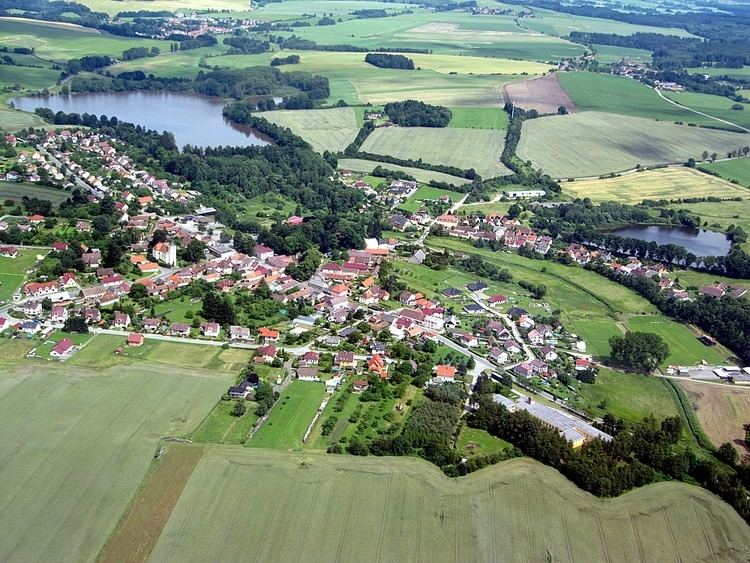 | ||
Tučapy is a village and municipality (obec) in Tábor District in the South Bohemian Region of the Czech Republic.
Contents
Map of Tu%C4%8Dapy, Czechia
The municipality covers an area of 18.56 square kilometres (7.17 sq mi), and has a population of 791 (as at 28 August 2006).
Tučapy lies approximately 18 kilometres (11 mi) south-east of Tábor, 43 km (27 mi) north-east of České Budějovice, and 93 km (58 mi) south of Prague.
Sights
People
It was the birthplace of:
References
Tučapy (Tábor District) Wikipedia(Text) CC BY-SA