
Administrative center selo of Kidero Rural localities 55 Founded 1930 | Federal subject Republic of Dagestan Selsoviets 12 Area 963.6 km² | |
 | ||
Municipally incorporated as | ||
Tsuntinsky District (Russian: Цунти́нский райо́н) is an administrative and municipal district (raion), one of the forty-one in the Republic of Dagestan, Russia. It is located in the southwest of the republic. The area of the district is 1,327 square kilometers (512 sq mi). Its administrative center is the rural locality (a selo) of Kidero. As of the 2010 Census, the total population of the district was 18,282, with the population of Kidero accounting for 4.1% of that number.
Contents
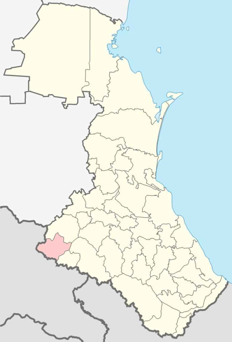
- Map of Tsuntinsky District Dagestan Republic Russia
- Administrative and municipal status
- Demographics
- References
Map of Tsuntinsky District, Dagestan Republic, Russia
Administrative and municipal status
Within the framework of administrative divisions, Tsuntinsky District is one of the forty-one in the Republic of Dagestan. The district is divided into twelve selsoviets which comprise fifty-five rural localities. As a municipal division, the district is incorporated as Tsuntinsky Municipal District. Its twelve selsoviets are incorporated as thirteen rural settlements within the municipal district. The selo of Kidero serves as the administrative center of both the administrative and municipal district.
Demographics
Ethnic composition: