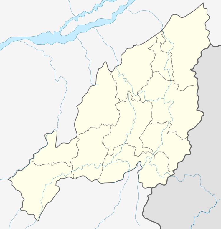
Country India Time zone IST (UTC+5:30) Vehicle registration NL-05 | State Nagaland PIN 798601 Elevation 1,305 m | |
 | ||
Tsungiki (which means Abode of Cloud)is a large Lotha village located in Chukitong Taluk/mandal/tehesil of Wokha district, Nagaland with total 556 families residing.
Contents
- Map of Tsungiki Nagaland 798601
- Dialect
- Population
- Distance from Nearby Towns
- Crops and its Benefits
- Place of Interest
- References
Map of Tsungiki, Nagaland 798601
Dialect
The native dialect of Tsungiki Village is Lotha language Dialect.
Population
The Tsungiki village has population of 3320 of which 1667 are males while 1653 are females as per Population Census 2011.
Distance from Nearby Towns
Wokha is nearest town to Tsungiki which is approximately 18 km away. The surrounding nearby villages and its distance from Tsungiki are Mungya 2.5 KM , Koio 3.4 KM , Seluku 3.8 KM , Chukitong 4.2 KM , Yimkha 4.6 KM , Longla 6.2 KM , Nungying 6.3 KM , Yanthamo 6.4 KM.
Crops and its Benefits
Tsungiki Village is blessed with a fertile soil suiting many crops.
Place of Interest
Dongti is a place where you can view neighboring villages and scenery beauty of the mountains.
