
Capital Damphu, Tsirang | ||
 | ||
Tsirang District (Dzongkha: རྩི་རང་རྫོང་ཁག་; Wylie: Rtsi-rang rdzong-khag; previously "Chirang"), is one of the 20 dzongkhags (districts) of Bhutan. The administrative center of the district is Damphu
Contents
Map of Tsirang, Bhutan
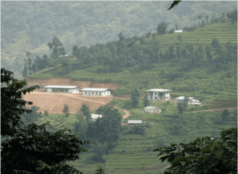
Tsirang is noted for its gentle slopes and mild climates. The dzongkhag is also noted for its rich biodiversity; however, it is one of the few dzongkhags without a protected area. One of Bhutan's longest rivers, the Punatsang Chhu or Sankosh river flows through the district. It is the main districts where the Lhotshampa reside.
Languages
The dominant language in Tsirang is Nepali, spoken by the heterogeneous Lhotshampa. In the north, Dzongkha, the national language, is also spoken.
Administrative divisions
Tsirang District is divided into twelve village blocks (or gewogs):
Geography
The northernmost reaches of Tsirang District (the gewogs of Phutenchhu and Sergithang) lie within Jigme Singye Wangchuck National Park, one of the protected areas of Bhutan.