
Elevation 4,193 m | Parent range Mongol-Altai Mountains Prominence 1,757 m Listing Ultra-prominent peak | |
 | ||
Similar Tavan Bogd, Sutai Mountain, Kharkhiraa, Khüiten Peak, Otgontenger | ||
Climbed tsambagarav mountain in mongolia
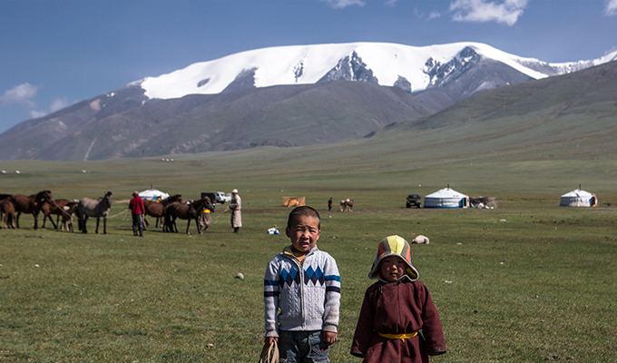
Tsambagarav (Mongolian: Цамбагарав) is a mountain between Khovd Province and Bayan-Olgii Province in western Mongolia, it is a mountain of the Altai Mountains range. It has two peaks, its highest peak "Tsast Uul" (Mongolian: Цаст, lit. "snow-covered peak") has an elevation of 4,193 metres (13,757 ft) and another peak same named "Tsambagarav" (48.655196,90.847063). The mountain is the stand-alone eternally snow-capped mountain of the Mongol Altai and the regional sacred mountain in Mongolia.
Contents
Map of Tsambagarav, Mongolia
Massif of Tsast Uul-Tsambagarev. Italians Gianni Pais Becher, Gastone Lorenzini and Elziro Molin climbed in western Mongolia in June and July. In late June, they first climbed Tsast Uul (4250 meters, 13,944 feet), the second highest peak in Mongolia, by the normal route. On June 27, they established Base Camp at 2520 meters north of the massif and the next day placed a camp in an alpine meadow. On June 29 the three Italians with Mongolians Jndonpuncav, Gotov, Samubun and Battulga climbed a 55° ice slope to the summit of unclimbed P 4030 (13,222 feet). On June 30, they moved camp to Tavan Betchir. On July 2, they started for a peak they had seen from Tsast Uul. They had to climb over a ridge to 3800 meters, down the far side, across a glacier and finally up the icy, 60° northwest face of P 4150 (13,616 feet). The summit was reached by Pais Becher, Molin, Mongolians Dorjpalam, Tumentogootch, Damba, Rentsenbyamba, Gaadamba and Vantchig