
Length 167 km Source elevation 1,450 m Bridges Garabit viaduct | Basin size 3,300 km (1,300 sq mi) Discharge 60 m³/s | |
 | ||
Main source Massif Central1,450 m (4,760 ft) Progression Lot→ Garonne→ Atlantic Ocean | ||
The Truyère ([tʁy.jɛːʁ]) is a 167-kilometre (104 mi) long river in south-western France, right tributary of the Lot River. Its source is in the south-western Massif Central, north of Mende. It flows generally west through the following départements and towns:
Map of Truy%C3%A8re, France
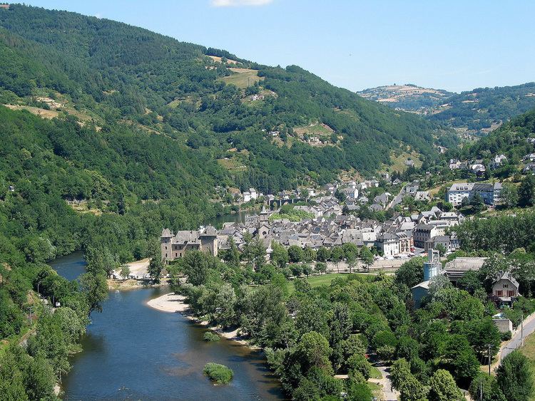
The Truyère flows into the Lot in Entraygues-sur-Truyère. Its main tributaries are the Bès near Albaret-le-Comtal, and the Goul near Saint-Hippolyte.
The Truyère feeds several reservoirs, like the Lac de Grandval and the Lac de Barrage de Sarrans, to supply hydroelectricity.
The Garabit Viaduct, built by Gustave Eiffel, spans the Truyère near Ruynes-en-Margeride.
References
Truyère Wikipedia(Text) CC BY-SA