
Opening date 2016 (est.) Height 84.5 m (277 ft) Province Thanh Hoa Province Construction cost 410.7 million USD Impound Ma River | Status Under construction Impounds Ma River Catchment area 14,660 km² Construction began 2012 | |
 | ||
Location Trung Sơn commune, Quan Hóa District, Thanh Hóa Province Similar Lai Châu Dam, Đa Nhim Hydroelectric Power St, Sơn La Dam, Hòa Bình Dam, Hàm Thuận – Đa Mi hy | ||
The Trung Sơn Dam (Dự Án Nhà máy Thủy điện Trung Sơn) is a hydroelectric power station under construction on the Ma River in northwestern Vietnam. Located in the Trung Sơn commune, Quan Hóa District, Thanh Hóa Province, it is approximately 95 kilometres (59 mi) southwest of Hòa Bình city, and 195 kilometres (121 mi) northwest of Thanh Hóa city. The dam will create a reservoir which covers a large area of the Mường Lát and Quan Hóa Districts in the Thanh Hoa province as well as part of the Mộc Châu District in Sơn La Province. It is approximately 9.5 kilometres (5.9 mi) from the Vietnam–Laos border.
Contents
- Map of Trung SC6A1n Dam Trung SC6A1n Quan HC3B3a Thanh HoC3A1 Vietnam
- The Project
- Main parameters
- Components
- Key milestones
- References
Map of Trung S%C6%A1n Dam, Trung S%C6%A1n, Quan H%C3%B3a, Thanh Ho%C3%A1, Vietnam
The Project
The Trung Sơn hydropower project is owned by Trung Sơn Hydropower Company Limited (TSHPCo), the entity established by Vietnam Electricity (EVN) in Decision No. 106/QD-ENV dated March 17, 2011. TSHPCo is responsible for the management, construction and operation of the Trung Sơn hydropower project.
The project will provide both power generation and flood control. The powerhouse is designed to contain four generating units with a total capacity of 260 MW and an annual output of 1,018.61 GWh,, a significant addition to the national grid. The flood control storage of 112 million cubic metres (4.0×10^9 cu ft) will help prevent floods downstream.
The project will cost a total of VND 7,775,146 million (equivalent to US $410.68 million). This includes US $330 million from a World Bank loan, which was signed by the Socialist Republic of Vietnam and the World Bank on June 28, 2011. Additionally, the project was given slightly over US $80 million from the counterpart fund of (EVN).
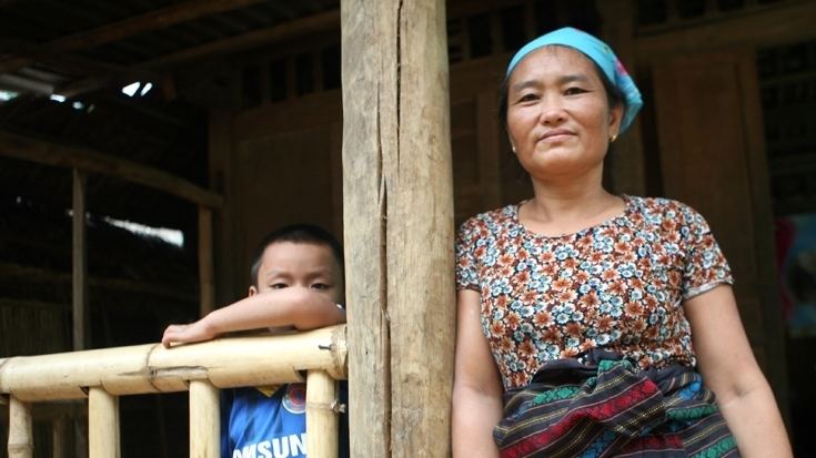
The project has created social, environmental and community relation programs to mitigate anticipated and unanticipated issues with populations either directly or indirectly impacted, the Resettlement, Livelihoods and Ethnic Minorities Development Program (RLDP). These populations consist of approximately 10,600 people (2,327 households), of which 7,012 (1,516 households) will be directly impacted in the main project area, resulting in a total of 533 households having to be resettled. The RLDP includes a Resettlement Plan (RP), a Community Livelihoods Improvement Plan (CLIP) and an Ethnic Minorities Development Plan (EMDP).
In addition, management has prepared a Supplementary Environmental and Social Impact Assessment (SESIA) with Environmental Management Plan (EMP) for the project. This plan includes principles, approaches, procedures and methods to be used to control and minimize environmental impacts of all project-related construction and operation activities. Compared with fossil-fuel based energy plants of the same size, the dam produces far less greenhouse gas emissions (GHGs). TSHPCo maintains a website at www.trungsonhp.vn where public information is routinely updated.
Main parameters
Components
The project is composed of four components: