
Area rank 18th | Created 1899 Time zone UTC-04:30 | |
 | ||
Emblematic tree Bucare anauco (Erythrina fusca) University Universidad Valle del Momboy Points of interest Monument to La Paz, Museo Trapiche de Los Cl, Teta de Niquitao‑Guirigay Natural M, Catedral de Trujillo, Aerobosque Canopy Aventura | ||
Trujillo State (Spanish: Estado Trujillo, [esˈtaðo tɾuˈxiʎo]) is one of the 23 states of Venezuela. Its capital is Trujillo but the largest city is Valera. The state is divided into 20 municipalities and 93 parishes. Trujillo State covers a total surface area of 7,198 km² and, has a 2011 census population of 686,367.
Contents
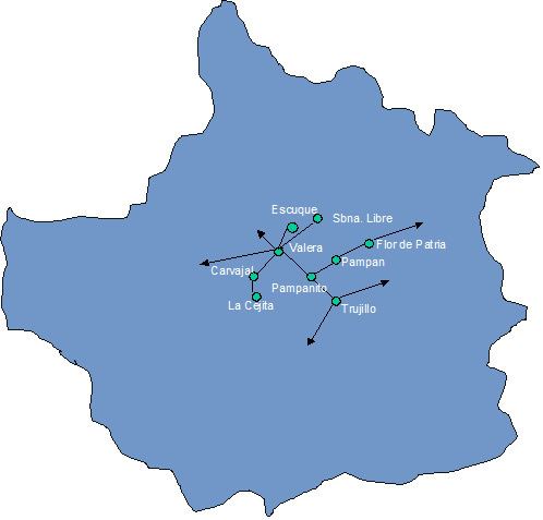
- Map of Trujillo Venezuela
- History
- Municipalities and municipal seats
- Race and ethnicity
- Education
- References
Map of Trujillo, Venezuela
History
Trujillo state was founded from the former Trujillo Province following the creation of the States of Venezuela in 1864 after the Federal War.
Municipalities and municipal seats
- Andrés Bello (Santa Isabel)
- Boconó (Boconó)
- Bolívar (Sabana Grande)
- Candelaria (Chejendé)
- Carache (Carache)
- Escuque (Escuque)
- José Felipe Márquez Cañizales (El Paradero)
- José Vicente Campo Elías (Campo Elías)
- La Ceiba (Santa Apolonia)
- Miranda (El Dividive)
- Monte Carmelo (Monte Carmelo)
- Motatán (Motatán)
- Pampán (Pampán)
- Pampanito (Pampanito)
- Rafael Rangel (Betijoque)
- San Rafael de Carvajal (Carvajal)
- Sucre (Sabana de Mendoza)
- Trujillo (Trujillo)
- Urdaneta (La Quebrada)
- Valera (Valera)
Race and ethnicity
According to the 2011 Census, the racial composition of the population was:
Education
References
Trujillo (state) Wikipedia(Text) CC BY-SA