
Population 17,469 (2014 census) State electorate(s) KororoitTarneit Area 56 km² Postal code 3029 | Postcode(s) 3029 Local time Sunday 4:57 AM | |
 | ||
Weather 19°C, Wind SW at 6 km/h, 92% Humidity | ||
Truganina is a rural-urban fringe suburb of Melbourne, Victoria, Australia, 22 km west of Melbourne's Central Business District. Its local government areas are the Cities of Melton and Wyndham. At the 2011 census, Truganina had a population of 9,140.
Contents
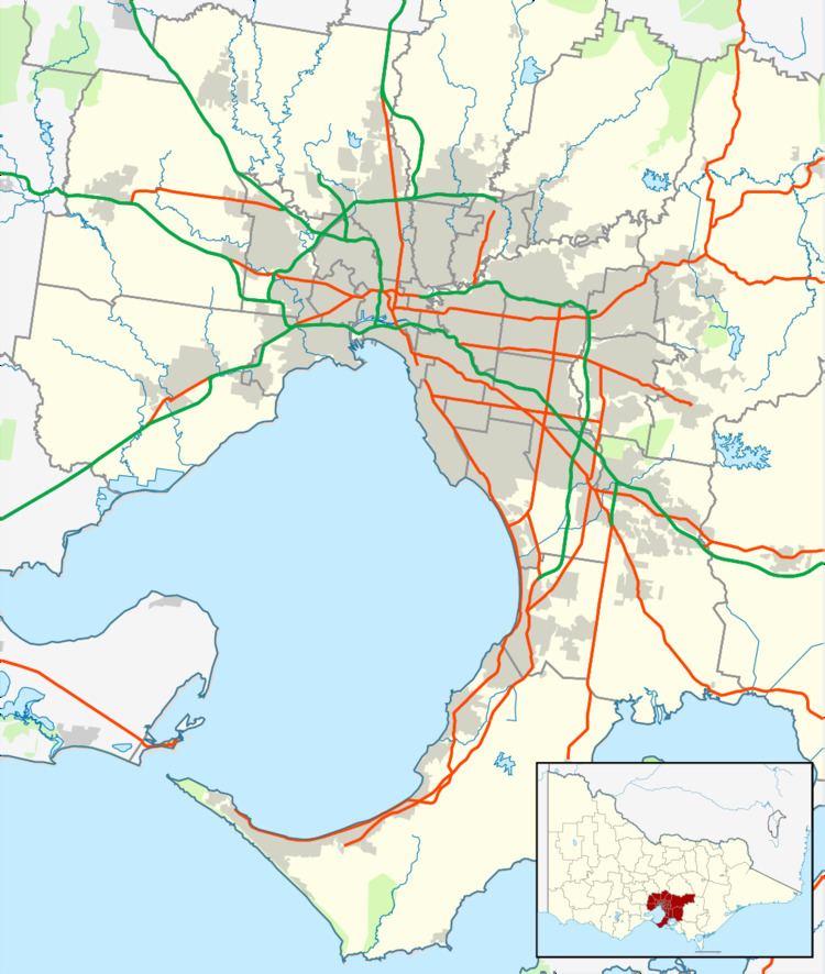
- Map of Truganina VIC 3029 Australia
- History
- Population growth
- Urban sprawl
- Telecommunications
- Transport
- Education
- Industry
- Distribution centres
- References
Map of Truganina VIC 3029, Australia
The pronunciation of Truganina has two main variations, being "Troo-ga-nee-nah" or "Troo-ga-ny-nah", though "Troo-ga-nee-na" is most likely correct as the suburb name originates from the Aboriginal name "Truganini", where "nini" in traditional Aboriginal languages are usually pronounced as a quickly-said version of "nee-nee".
Truganina is a rapidly growing suburban area with an estimated population of 17,469 in 2014. It is bordered roughly by the Skeleton-Waterholes Creek to the west; Boundary Road to the north; Mount Derrimut Road Reserve to the east and the Federation Trail to the south.
It is believed to be named after Truganini, a full-blooded Aboriginal Tasmanian woman who spent a short time in the area.
History
Truganina Post Office opened on 12 June 1878, closed in 1895, reopened in 1902 and closed again in 1942. The nearby Tarneit Post Office opened in 2008 to serve the area.
In 1969 bushfires claimed about 60 houses in the area.
Population growth
Truganina is expected to have a population of 39,951 by 2031, which would be an increase of 1,350.6 percent, or 28,633 persons from 2006.
Urban sprawl
Truganina (and neighbouring Tarneit) is largely characterised by low density development and is growing rapidly in advance of transport infrastructure and services, meaning that the vast majority of new residents are currently dependent on automobiles. The growth is primarily due to affordable housing and the area's location within a growth corridor that is close to the major manufacturing areas in Laverton and the proposed business park on part of the RAAF Williams Base.
Telecommunications
Telephone networks are at capacity and only a select few who live in developments with broadband hubs will have access to high speed DSL services, as local exchanges are too far away for effective DSL services. New residents in Truganina have to resort to using wireless internet technologies due to the insufficient telephone infrastructure.
Transport
Truganina's road network is laid out in street hierarchy, with almost all residential streets feeding into a grid of main roads including busy east-west corridor Sayers Road, Leakes Road, Dohertys Road and Boundary Road, and north-south links Morris Road, Marquands Road, Woods Road and Palmers Road.
The main public transport is the bus network, with most of the main routes runs via Forsyth and Sayers Roads. The bus runs through the Clearwater Rise residential estate and also Marquands Road.
Off-road cycling is facilitated by the Federation Trail at the southern border of the suburb, however few of the main roads provide provision for bicycles.
The nearest railway stations is Williams Landing which is 3.5 kilometres from the centre of Truganina. Laverton and Hoppers Crossing, both on the Werribee railway line are 5 kilometers from the centre of Truganina.Another similarly distant railway station Tarneit at the corner of Derrimut Road and Leakes Road in nearby Tarneit opened recently as part of the Regional Rail Link project. This would provide V/Line diesel services on route between Geelong and Melbourne. There are plans for an additional station to eventually be added to the line to service Truganina.
Education
There are several schools in Truganina, including Westbourne Grammar School, Al-Taqwa Islamic College, Truganina South Primary School, Truganina P-9 College and St Clare's Catholic Primary School
Industry
Parts of Truganina have been planned as new areas for industrial zones. These planned areas lie northwards and eastwards of the new housing zones in southern Truganina.
Distribution centres
Many distribution centres are setting up in the Truganina area due to the easy access to rail, roads and air freight services. Currently Woolworths Limited has a large liquor distribution centre that services BWS, Dan Murphy's and Woolworths Liquor. Linfox also have a small logistics centre in the same complex, and to the north of the area K&S Freighters. In 2010 Kmart Australia started construction on a new purpose built distribution centre in Truganina. The Kmart Australia Distribution Centre is now the largest building by footprint size in Australia and the Southern Hemisphere and tenth largest in the world. Another mega distribution centre in the Truganina industrial area was built for Coles Supermarkets in 2012 which is approximately 70,000 square metres.