
Local time Saturday 8:54 AM | ||
 | ||
Weather 7°C, Wind W at 10 km/h, 93% Humidity | ||
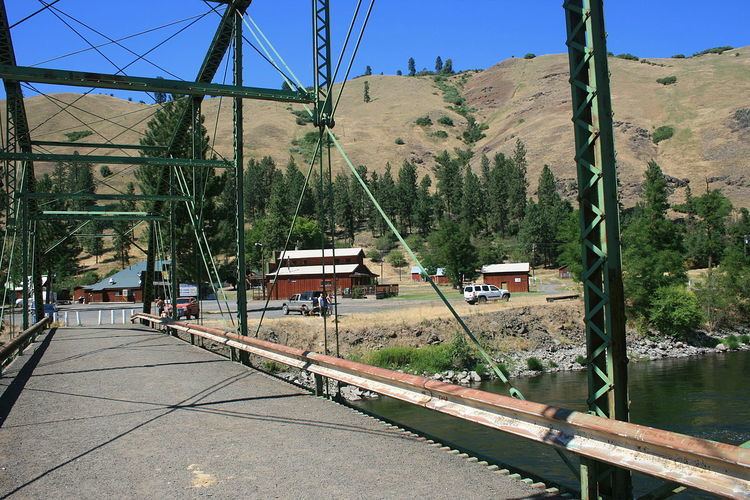
Troy is an unincorporated community in rural Wallowa County, Oregon, United States at the conflux of the Grande Ronde and Wenaha rivers. Troy is west of Flora on Oregon Route 3 close to the Washington state line. It is known for its excellent river fishing, and has an RV park and two fishing lodges, as well as a restaurant. There are no other businesses, and the only services are a public school and a county library branch.
Map of Troy, OR 97828, USA
Troy began to form in the late 1890s, with the establishment in the area of a Mormon settlement called Nauvoo named after the more famous settlement in Illinois. A post office was opened in 1902, and a formal town was platted in 1910. In 1931, the name of the town was officially changed to Troy, presumably honoring a son of the area's original Mormon settlers, Troy Grinstead. A ferry may have already been serving the Grande Ronde River at the location. The town was always a service center for the surrounding farms and ranches, and a "fisherman's getaway paradise" in its relative isolation and lack of commercial enterprise.
With the arisal of the "urban drift" in the 1960s, the small town's population dwindled, services which could also be found in nearby Flora closed. The closure of the post office in 1965 reduced the town to a its present status as a fishing vacation site, with a permanent residence estimated at 25-30 people.