
Country United States Time zone Mountain (MST) (UTC-7) Elevation 2,034 m | Named for Trout Creek ZIP code 84083 Local time Saturday 8:58 AM | |
 | ||
Weather 6°C, Wind NE at 14 km/h, 85% Humidity | ||
Trout Creek is a small farming unincorporated community, in western Juab County, Utah, United States. It is located along the Pony Express/Overland route in northern Snake Valley, north of Partoun and south of Callao. It is named after the creek that flows from the west off of the Deep Creek Mountains. It has one of the most remote Mormon chapels in Utah, with a short section of paved road, the only paved road for over 50 miles (80 km).
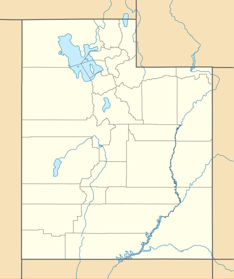
Map of Trout Creek, UT 84083, USA
It is located at 39.68550N 113.82729W, at an elevation of 6,675 feet (2,035 m). The Zip Code is 84083.
References
Trout Creek, Utah Wikipedia(Text) CC BY-SA