
Country United States Time zone Mountain (MST) (UTC-7) Elevation 1,322 m | Settled 1860 ZIP code 84034 Local time Monday 12:44 PM | |
 | ||
Weather 3°C, Wind SW at 16 km/h, 33% Humidity | ||
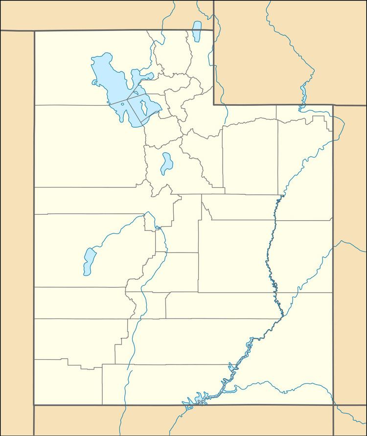
Callao (/ˈkæliːoʊ/ KAL-ee-oh) is a small farming community in northern Snake Valley, along the border of Juab County and Tooele County, Utah, United States. It was part of the original Pony Express overland route, and was first called Willow Springs in 1860. E. W. Tripp, his wife and son, were the first to establish residence there, in 1870. In 1895 it was decided that Willow Springs was too common a name, and a new name would be chosen. The name Callao was chosen because of a resemblance to Callao, Peru, suggested by an old prospector in the region who was working out of Gold Hill to the north. It is unknown how the pronunciation changed from the Spanish [kaˈʝau] ('kah-YOW'). Little more than a group of ranches, Callao has a long history of being small and isolated.
Contents
Map of Callao, UT 84083, USA
Climate
According to the Köppen Climate Classification system, Callao has a semi-arid climate, abbreviated "BSk" on climate maps.