
 | ||
Fabien cloutier visite la shop du trou du diable
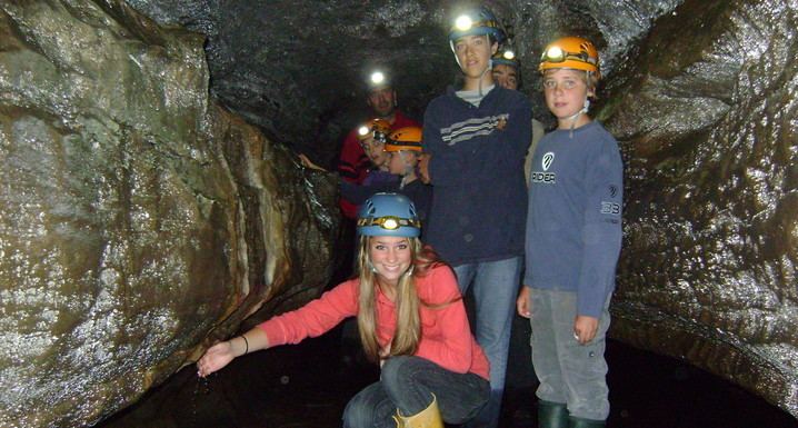
The Trou du Diable (translated in English as Devil's Hole) is a cave situated in St-Casimir, in the province of Quebec, Canada. On the CanMatrix System ([1]), you can find the Trou du Diable on the map Grondines (031-I/9) at the coordinates 22207325.
Contents
The Trou du Diable is in fact a creek of which the last 980 meters are underground, which makes it the second longest in Quebec. It is tributary of the Rivière Ste-Anne, about four kilometers upstream of St-Casimir.
Its highest point is 6.8 metres above the bottom of the cave, and at some places visitors have to crawl to move forward.
Le trou du diable saint hilaire de riez
References
Trou du Diable Wikipedia(Text) CC BY-SA