
Admin. region Oberbayern Elevation 493 m (1,617 ft) Area 51.36 km² Local time Saturday 2:59 PM Dialling code 08621 | Time zone CET/CEST (UTC+1/+2) Population 11,650 (31 Dec 2008) Postal code 83308 Administrative region Upper Bavaria | |
 | ||
Weather 12°C, Wind E at 19 km/h, 49% Humidity | ||
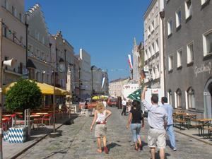
Trostberg is a town in the district of Traunstein, in Bavaria, Germany. It is situated on the river Alz, 19 km northwest of Traunstein. As with other 'old towns' in the region, it is a popular local tourist spot.
Contents
Map of 83308 Trostberg, Germany
Economy
About 1,400 people are employed at the Chemiepark Trostberg, a large chemical industrial area near the town. The two main companies are AlzChem and BASF Bauchemie (construction chemistry). The Chemiepark Trostberg originated from a calcium cyanamide production plant, founded in 1908. Between 1978 and 2000, the company was called SKW Trostberg AG.
History
During World War II, a subcamp of Dachau concentration camp was located in the town.
References
Trostberg Wikipedia(Text) CC BY-SA