
Country United States FIPS code 27-65542 Elevation 520 m Zip code 56177 Local time Saturday 8:56 AM | Time zone Central (CST) (UTC-6) GNIS feature ID 0653333 Area 4.27 km² Population 83 (2013) Area code 507 | |
 | ||
Weather 1°C, Wind E at 13 km/h, 87% Humidity | ||
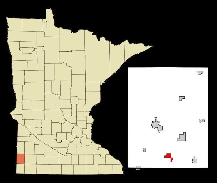
Trosky is a city in Pipestone County, Minnesota, United States. The population was 86 at the 2010 census.
Contents
Map of Trosky, MN 56164, USA
History
Trosky was platted in 1884. The origin of the name Trosky is obscure. A post office has been in operation at Trosky since 1884. Trosky was incorporated in 1893.
Geography
According to the United States Census Bureau, the city has a total area of 1.65 square miles (4.27 km2), all of it land.
2010 census
As of the census of 2010, there were 86 people, 39 households, and 29 families residing in the city. The population density was 52.1 inhabitants per square mile (20.1/km2). There were 42 housing units at an average density of 25.5 per square mile (9.8/km2). The racial makeup of the city was 95.3% White, 1.2% Native American, and 3.5% Asian.
There were 39 households of which 25.6% had children under the age of 18 living with them, 64.1% were married couples living together, 7.7% had a female householder with no husband present, 2.6% had a male householder with no wife present, and 25.6% were non-families. 25.6% of all households were made up of individuals and 10.3% had someone living alone who was 65 years of age or older. The average household size was 2.21 and the average family size was 2.55.
The median age in the city was 46.5 years. 20.9% of residents were under the age of 18; 2.4% were between the ages of 18 and 24; 25.6% were from 25 to 44; 36% were from 45 to 64; and 15.1% were 65 years of age or older. The gender makeup of the city was 47.7% male and 52.3% female.
2000 census
As of the census of 2000, there were 116 people, 46 households, and 36 families residing in the city. The population density was 69.8 people per square mile (27.0/km²). There were 48 housing units at an average density of 28.9 per square mile (11.2/km²). The racial makeup of the city was 97.41% White and 2.59% Asian.
There were 46 households out of which 34.8% had children under the age of 18 living with them, 67.4% were married couples living together, and 21.7% were non-families. 21.7% of all households were made up of individuals and 13.0% had someone living alone who was 65 years of age or older. The average household size was 2.52 and the average family size was 2.92.
In the city, the population was spread out with 28.4% under the age of 18, 2.6% from 18 to 24, 31.0% from 25 to 44, 22.4% from 45 to 64, and 15.5% who were 65 years of age or older. The median age was 42 years. For every 100 females there were 110.9 males. For every 100 females age 18 and over, there were 102.4 males.
The median income for a household in the city was $36,250, and the median income for a family was $38,750. Males had a median income of $28,750 versus $31,250 for females. The per capita income for the city was $16,741. None of the population or the families were below the poverty line.
Politics
Trosky is located in Minnesota's 1st congressional district, represented by Mankato educator Tim Walz, a Democrat. At the state level, Trosky is located in Senate District 22, represented by Republican Doug Magnus, and in House District 22A, represented by Republican Joe Schomacker.