
Local time Friday 8:28 PM | Founded December 15, 1987 | |
 | ||
Weather 20°C, Wind SE at 8 km/h, 86% Humidity | ||
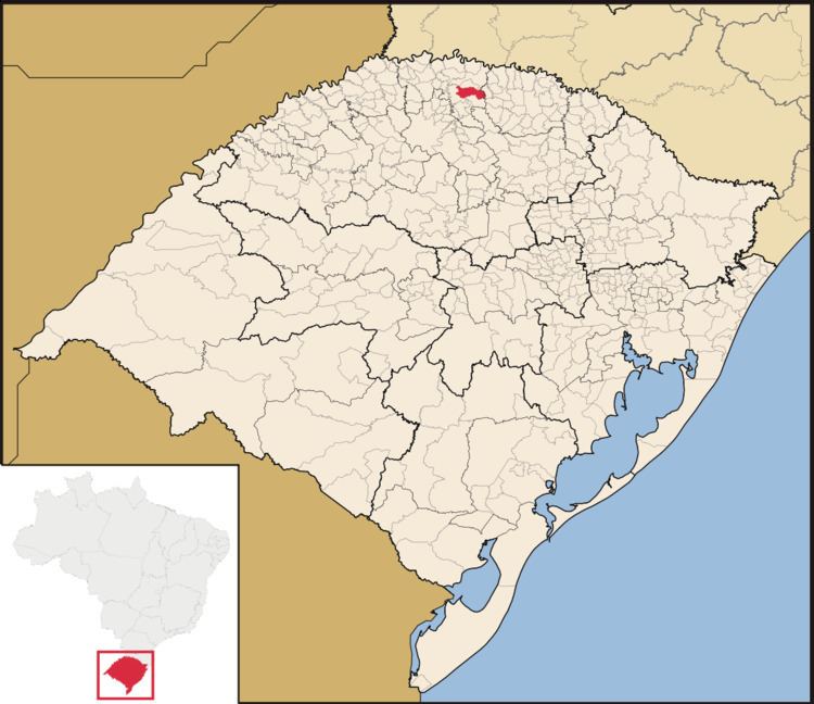
Trindade do Sul is a municipality in the state of Rio Grande do Sul, Brazil.
Contents
Map of Trindade do Sul, RS, Brazil
Geography
The municipality of Trindade do Sul is a part of the Microregion of Frederico Westphalen. It is located at a latitude of 27º31'13" south and a longitude of 52º53'00" west, being at an altitude of 640 meters above sea level.
This municipality is divided in several localities, called lines (Brazilian Portuguese: Linhas). Those are:
Population
According to IBGE statistics from 2010, Trindade do Sul has a population of 5787 people.
References
Trindade do Sul Wikipedia(Text) CC BY-SA